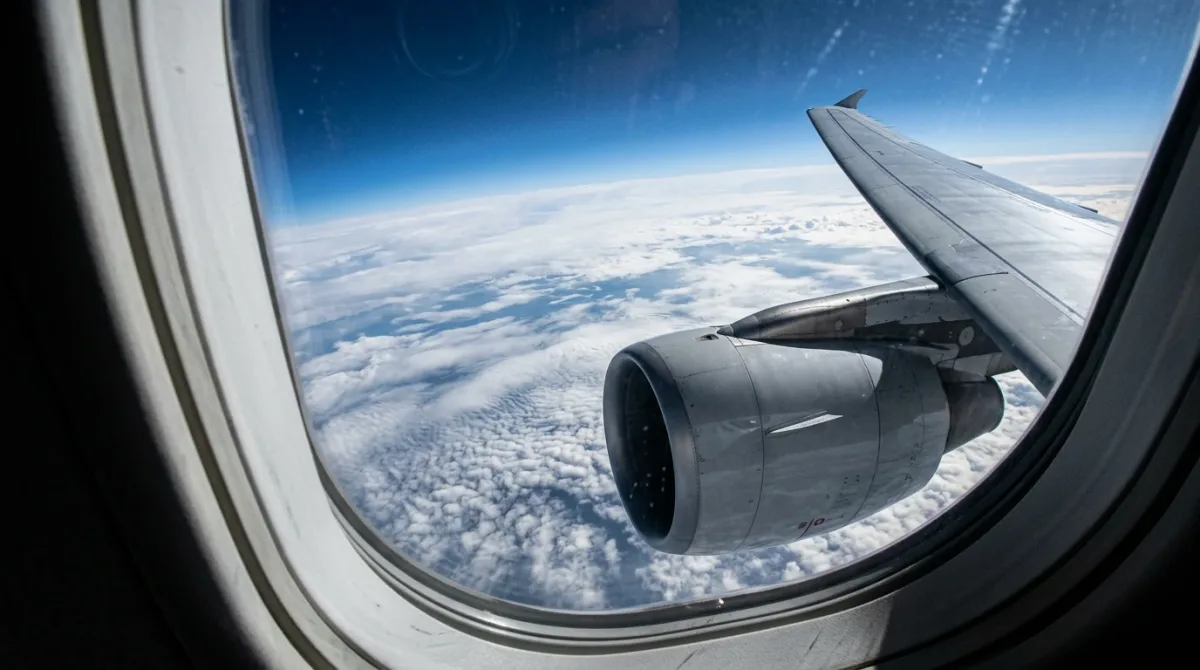
Open a flight tracker for a nonstop from New York to Tokyo or London to Los Angeles and the plotted path bends northward in a long arc, sometimes brushing close to the Arctic, instead of running in a straight line across the map. Passengers occasionally assume the aircraft is avoiding weather or traffic. It isn't. The curve is the direct route.
Why does a flight path look curved instead of straight?
A standard world map flattens a round planet onto a flat rectangle, which distorts distance and direction. According to the Smithsonian's National Air and Space Museum, in its Time and Navigation exhibition materials, "the shortest distance between two points on a globe is not always a straight line—it's an arc called a great circle" (SRC-01). A line that looks straight on a flat map is often longer in real distance than the curved arc a great circle traces, because the map itself is the thing that's distorted, not the flight path.
What is a great circle route, exactly?
A great circle is the largest possible circle that can be drawn around a sphere, one whose plane passes through the sphere's center. Any arc along that circle is the shortest surface path between two points on the globe. The Smithsonian exhibition notes that pilots and flight planning systems following this path have to keep adjusting compass heading along the way, rather than holding one constant direction, because the arc's true bearing changes continuously as it crosses the curved surface (SRC-01). That's the opposite of a straight compass-line route, which holds a constant heading but covers more ground.
Why do so many long routes bend toward the Arctic?
Because the great circle effect is strongest at high latitudes. The Smithsonian materials describe this directly: "the great circle effect is most dramatic near the Poles" (SRC-01). For routes connecting Europe or the Middle East to the western United States, or the U.S. East Coast to East Asia, the shortest great circle path frequently swings up toward northern Canada, Greenland, or Arctic Russia before curving back down, even though the departure and arrival cities sit at far lower latitudes. On a flat map that looks like a wide detour. On the actual sphere, it's the most direct line available.
Do airlines actually fly the true great circle, or something close to it?
Often something close to it, adjusted for real-world constraints. The U.S. Federal Aviation Administration's guidance on aeronautical charts notes that its low-altitude IFR/VFR planning chart includes "a mileage table showing great circle distances between major airports," underscoring that great circle distance is the baseline figure used in flight planning rather than a theoretical curiosity (SRC-02). In practice, dispatchers bend the plotted route around restricted airspace, adjust it for winds aloft that can shorten or lengthen the effective flying time, and route around weather. But the great circle remains the reference line that planning starts from.
Why does routing near the pole matter beyond distance?
Because Earth's protective magnetic field is weaker there, and that has an operational consequence beyond mileage. As The Points Guy has reported, airlines route long-haul flights near the North Pole specifically because it offers "the shortest distance between two points on the surface," connecting Gulf hubs like Doha, Abu Dhabi, and Dubai to Los Angeles, or London to the U.S. West Coast, more efficiently than a lower-latitude path would (SRC-03). But the outlet also reported that research on cosmic radiation exposure found route mattered more than flight duration, since the magnetic shielding that deflects radiation is weakest near the poles, and that U.S. aircrew are classified as radiation workers as a result (SRC-03). That's one reason some polar-adjacent routes get monitored or occasionally adjusted during heightened solar activity, separate from the basic distance math.
Does this mean every long flight takes the most extreme-looking curve?
No. The degree of curve depends entirely on the specific pair of cities. A route running mostly east-west near the equator, such as many flights across the Pacific between Southeast Asia and Australia, stays comparatively flat on the map because the shortest path at low latitudes doesn't gain much by swinging poleward. The farther apart two cities are in longitude and the higher their latitude, the more pronounced the arc becomes. That's why transpolar and near-polar routings show up almost exclusively on the longest routes linking high-latitude regions, not on shorter regional hops.
How does wind change the plotted line from day to day?
Even on the same city pair, the exact plotted route can shift from one day's flight to the next because dispatchers layer forecast winds aloft on top of the great circle baseline. A strong jet stream running west to east across the North Atlantic, for instance, can make it worth flying a slightly longer great circle distance if doing so means riding a tailwind that saves fuel and time overall, or dodging a headwind that would eat into both. That is why two flights covering the identical origin and destination on consecutive days can show visibly different curves on a tracker, even though the underlying shortest-distance arc between those two airports never changes. FAA chart guidance treats the great circle figure as the baseline distance dispatchers plan from, not a route pilots are required to fly without adjustment (SRC-02).
Why do some polar-adjacent routes get rerouted during solar storms?
Because the radiation exposure risk near the poles is tied to space weather, not just geography. The Points Guy reporting notes that during a major 2003 solar storm, documented research found crews on polar-proximate flights absorbed measurably higher radiation doses, which is one reason airlines and regulators sometimes shift a flight further south, off the tightest great circle line, when solar activity spikes (SRC-03). The tradeoff in those moments is a slightly longer flight against a lower radiation dose, a decision made on the operational side well before passengers board.
What should a traveler take away from this?
The curved line on a flight tracker is not a sign of a diversion, a scheduling quirk, or airspace trouble. It reflects the geometry of a round planet rendered on a flat screen, and it's the same principle mariners have used for centuries to plot the shortest sea crossings. The next time a tracked flight path bows up toward the Arctic on its way to a destination that looks, on the map, to be almost directly across, that bend is the aircraft taking the short way, not the long one.
For a related aviation perspective, read Learn About Edison Aerospace Green Energy Solutions.
For more context, read Learn About Edison Aerospace Green Energy Solutions.